Chapter 2: Getting our Bearings
Learning Objectives
After reading this chapter, you should be able to:
- explain the concept of latitude and longitude, and be able to make calculations based on these coordinates
- explain the advantages and limitations of the various map projections used in oceanography
People have been navigating the oceans for thousands of years, for exploration, travel, acquiring food, and transporting goods. To do so requires some form of map and the ability to tell direction. Therefore, various systems of navigation have been around for centuries.
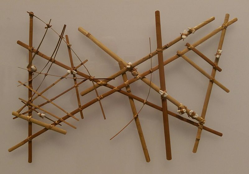
Early Pacific Islanders used stick charts, where shells indicated islands, and bent sticks represented wave and current patterns around the islands (Figure 2.1).
The first Western civilization known to have developed navigation at sea were the Phoenicians, about 4,000 years ago (c. 2000 B.C.E.). Phoenician sailors accomplished navigation by using primitive charts and observations of the sun and stars to determine directions. They explored the Mediterranean and Red Seas, and even circumnavigated Africa in 590 B.C.E.
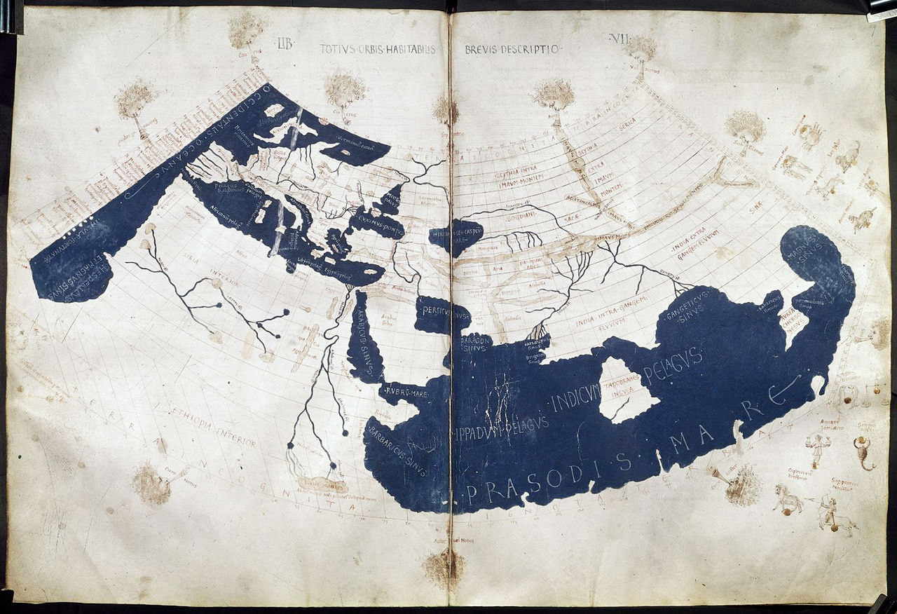
Ptolemy was a Greek-Egyptian writer, mathematician and scientist living in Alexandria, Egypt. He produced maps of the known world in around 150 AD, including the locations of major cities, and the first known use of lines of latitude and longitude (Figure 2.2). This early coordinate system forms the basis of geolocation techniques still in use today.